

Maps made by simulation professionals. High-precision OpenDRIVE® road models built from aerial imagery — no field survey required. Road, scenario and 3D scene content for ADAS and automated driving development.
We create high-precision OpenDRIVE road models directly from aerial imagery — lanes, markings and intersections included — delivering cost-effective, fast-turnaround mapping solutions.
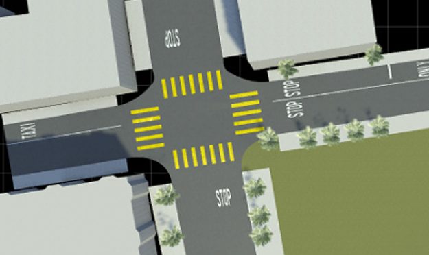
Our engineers, with deep expertise in both mapping and simulation, deliver content in standard formats compatible with a wide range of tools.
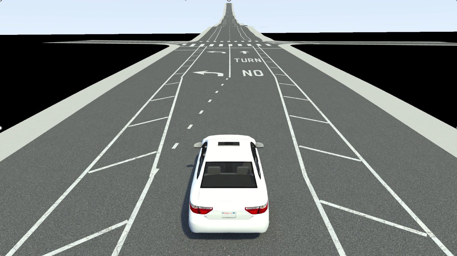
Real-world road models built from aerial imagery, including slopes, lane markings and road objects.
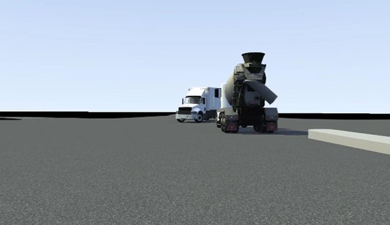
Scenarios reconstructed from dashcam footage, precisely aligned using our own road maps.
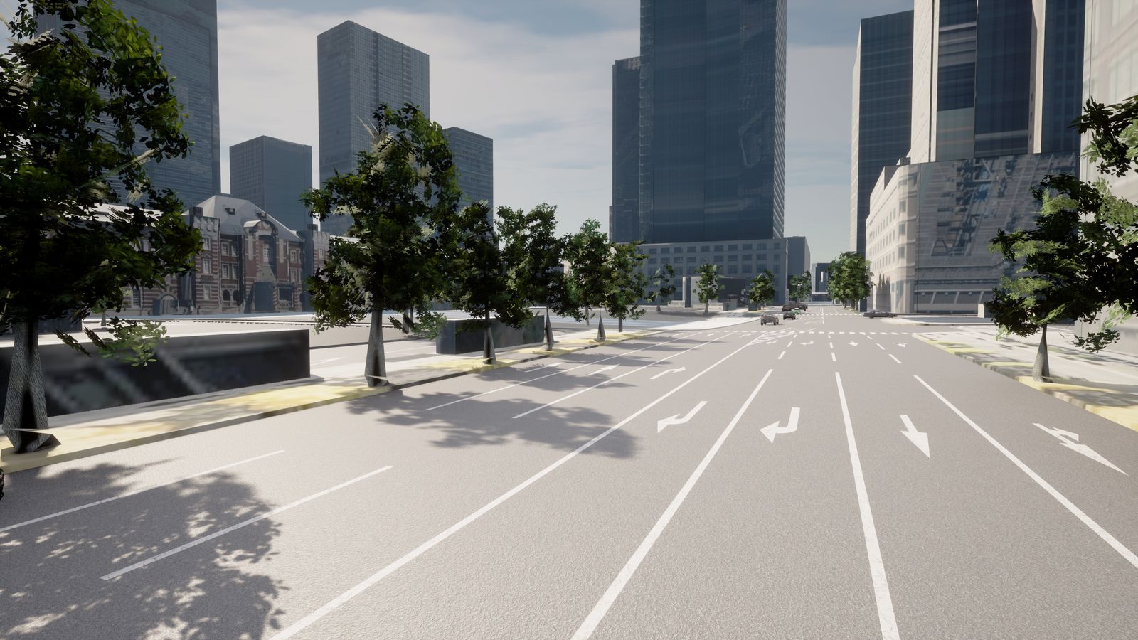
3D environments with buildings, trees and signs, built on top of our high-precision road models.
In collaboration with our partners, we continuously verify and extend compatibility.






Questions about supported tools or formats are always welcome.
infojapan@blueke.jp →